This post is part of our series of blog entries based on our RMA students’ engagements with the Lutkemeerpolder. For a more general introduction to the series, click here.
Author: Hannah Heath
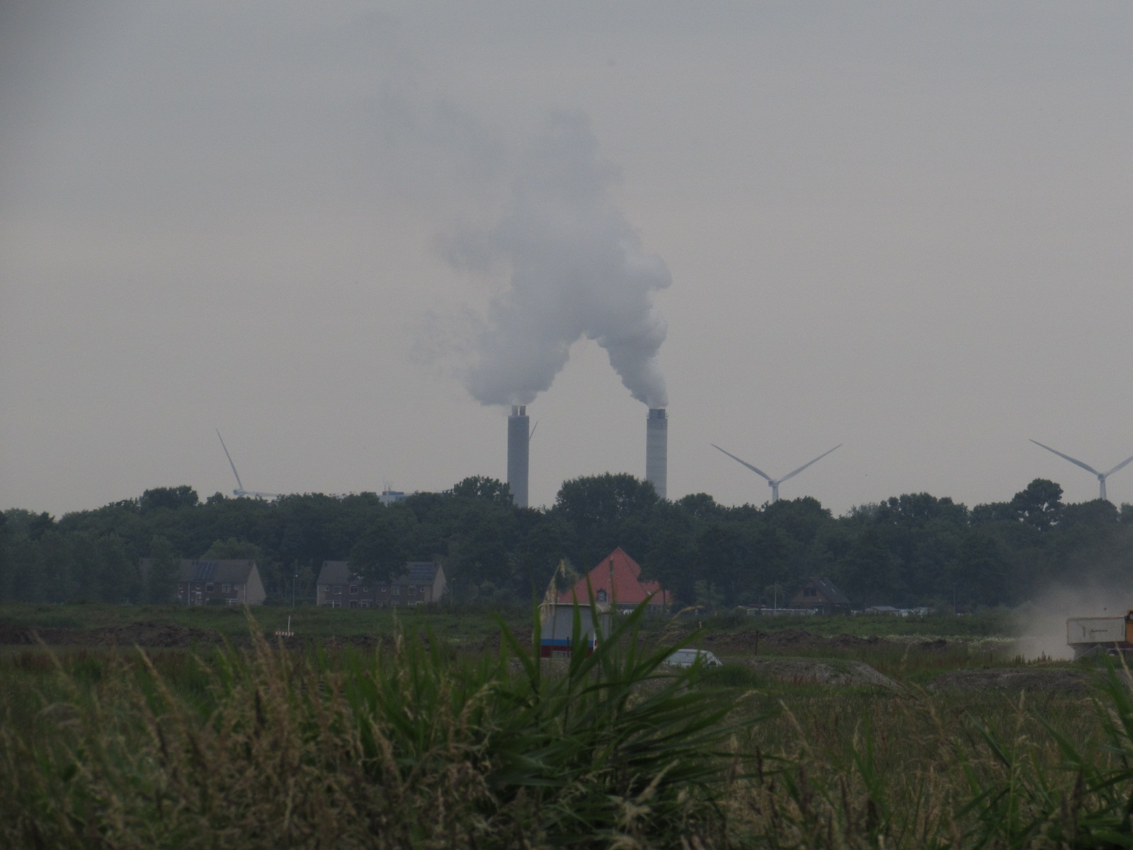
My first impression of the Lutkemeerpolder is that of a place of slow growth, manifested in its eco-farming and community-supported agriculture. The one thing constantly disrupting the polder’s tranquility is the recurring noise of commercial aircrafts landing on Schiphol’s runway, serving as a reminder that the threat of acceleration looms around the corner. The municipality’s bestemmingsplan would repurpose the area for the construction of logistics centers to facilitate rapid economic growth. In truth, this has always been part of the Lutkemeerpolder, which itself was reclaimed to achieve new economic ventures, but its inhabitants maintained strategies of slow growth in their agricultural activities. How did these tensions between rapid and slow growth evolve and clash in the Lutkemeerpolder? And what does this mean for future coastal dynamics in the climate crisis?
Before the reclamation of the Lutkemeerpolder, the area consisted of coastal wetlands that frequently flooded during high and spring tides. Through strategies of slow growth, the area’s inhabitants adapted their lifestyles to the environment: constructing house mounds (elevated dwellings that offered protection during floods) and shifting between subsistence agriculture, pastoralism, and fishing, depending on the movements of the sea. At first, acceleration occurred gradually. Since the early Middle Ages, human communities in the Low Countries transformed the wetlands into agricultural areas, forming a landscape of polders and lakes. The polders around the city of Amsterdam thus shaped the Lutkemeer (‘small lake’) as an important water reservoir. Despite the changing landscape, adaptive strategies and slow growth remained paramount and the landscape still accommodated coastal dynamics and inhabitants’ slower subsistence activities. Places like the Lutkemeer retained water, its surrounding small dikes slowed down the speed of floods and allowed for the secure evacuation of humans and nonhumans. A second acceleration occurred between 1864-5, when the Lutkemeer was reclaimed as the Lutkemeerpolder. The area would no longer accommodate the sea but instead facilitate the settlement of low-lying areas and the creation of new agricultural lands. The new coastal infrastructure of the 19th century would keep floods away and the slower processes of adaptation and accommodation could not keep up with the accelerating modern economies. Still, slow growth persisted in the Lutkemeerpolder, preserved in the organic and community-oriented agriculture we still see today.As I stand in the Lutkemeerpolder, I am reminded of its accelerated surroundings. The spread of hard and rapid infrastructure threatens the polder’s ecology and the last farmers of Amsterdam, and increases material losses during floods. These larger consequences are not insignificant, since the Lutkemeerpolder is one of the lowest-lying areas in the city of Amsterdam at -4.8 meters below sea level and the Waterschap Amstel, Gooi en Vecht has already cautioned against constructing in the area. Although I fear that my plea will not change the bestemmingsplan, I believe that the Lutkemeerpolder can make us revalue processes of slow growth, on a smaller and larger scale, and perhaps aid us in reevaluating our approach to growth in our society.